Posts Tagged ‘crop monitoring’
Time Series Mastery: How to Use Field History to Enhance Future Agronomy
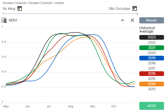
Satellite Imagery allows users to monitor near–real–time crop growth conditions along the vegetation cycle. A Satellite Image Time Series is a sequence of images taken over the same area at various intervals. Time series of indices derived from reflectance data, such as NDVI and LAI are used to assess the evolution of the vegetation and…
Read MoreUnlocking the Potential of Remote Sensing: Estimating Winter Cover Crop Biomass Using Sentinel-2 and Machine Learning
In the pursuit of sustainable agriculture and climate change mitigation, understanding and quantifying the biomass of cover crops during winter fallow periods is crucial. However, traditional methods for estimating cover crop biomass often lack spatial precision and objectivity. In a groundbreaking study published in Remote Sensing, researchers have harnessed the power of remote sensing technology…
Read MoreEarthDaily Agro and Infopulse Help a Large Ukrainian Agro-holding Access Precision Agriculture
Aiming to enable data-driven decisions and ensure more efficient use of its resources, one of the leading industrial agro-holdings in Ukraine decided to adopt the precision agriculture approach. The company’s primary objective was to engineer a modern cloud-based data platform that would gather, consolidate, and analyze vast volumes of agricultural data, including high-resolution satellite images…
Read MoreSatellite – Scaling Up Carbon Farming
In recent years, many studies on carbon farming practices have been done. Optimizing carbon capture on working landscapes is expanding in the United States and in other major production areas around the world. In coordination with these efforts, a framework is being structured that encompasses political and financial incentives, regulatory frameworks, contracted production, and debate…
Read More$1 Million Grant to Fund New EASY4Ag Program From EarthDaily Agro
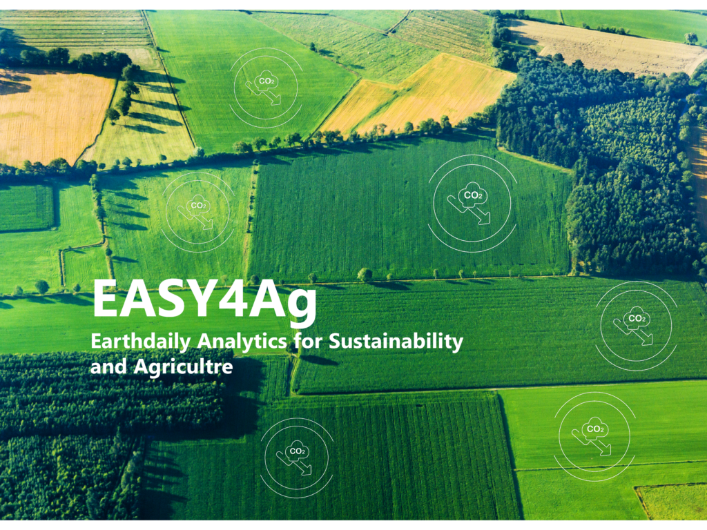
Earlier this year, the prestigious I-NOV competition for French creative businesses and industry disruptors awarded EarthDaily Agro a significant grant of $1 million to address pressing agriculture challenges. With existing analytics capabilities and an upcoming next-generation satellite constellation, EarthDaily Agro has been recognized for major contributions to agricultural sustainability. EarthDaily Agro’s overall goal is to…
Read MoreExamining Global Wheat Supply Disruption Amid the Russia-Ukraine War
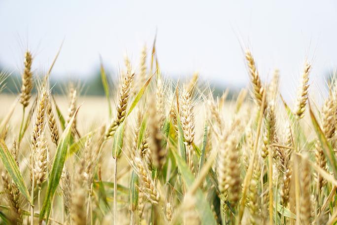
Today’s global food supply chain is highly connected and interdependent. As a result, it’s also sensitive to disruptions. Just how disrupted the market is by a given event, though, is a common question. And this is precisely the question at hand for organizations working in global food security. When it comes to feeding the world,…
Read MoreSpend less data scientists’ time cleaning data: High-quality cloud masks for Sentinel2, Landsat, and others available today
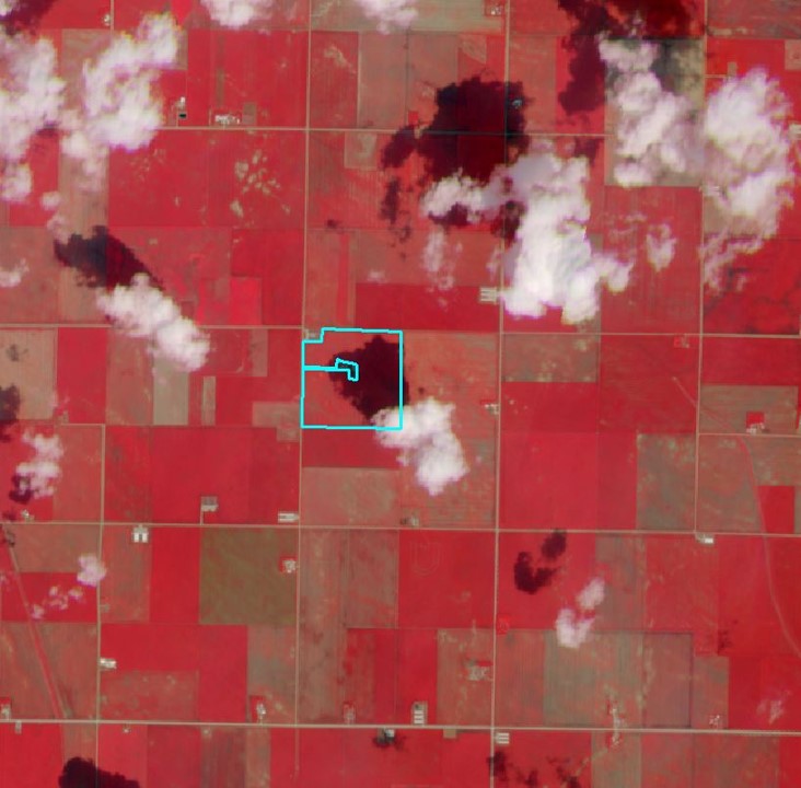
Earth Observation has a long history of serving agriculture, from governments to many types of agribusinesses. Recently, new advances have equipped providers with a greater ability to drive even more value. In producing high-quality geospatial analytics, one of the major challenges for providers is clouds, shadows, and haze on satellite imagery. Crop monitoring by satellite…
Read MoreUS Virtual Crop Tour

Our team of crop analysts constantly monitor the world’s major growing regions. To understand what’s happening on the ground, we look to the sky by using scientific-grade satellite data to power industry-leading analytics. This virtual crop tour is for the purpose to check the current conditions in the Corn Belt area in the US and…
Read More